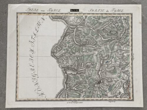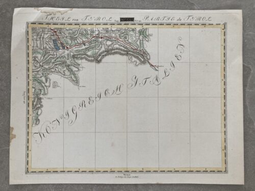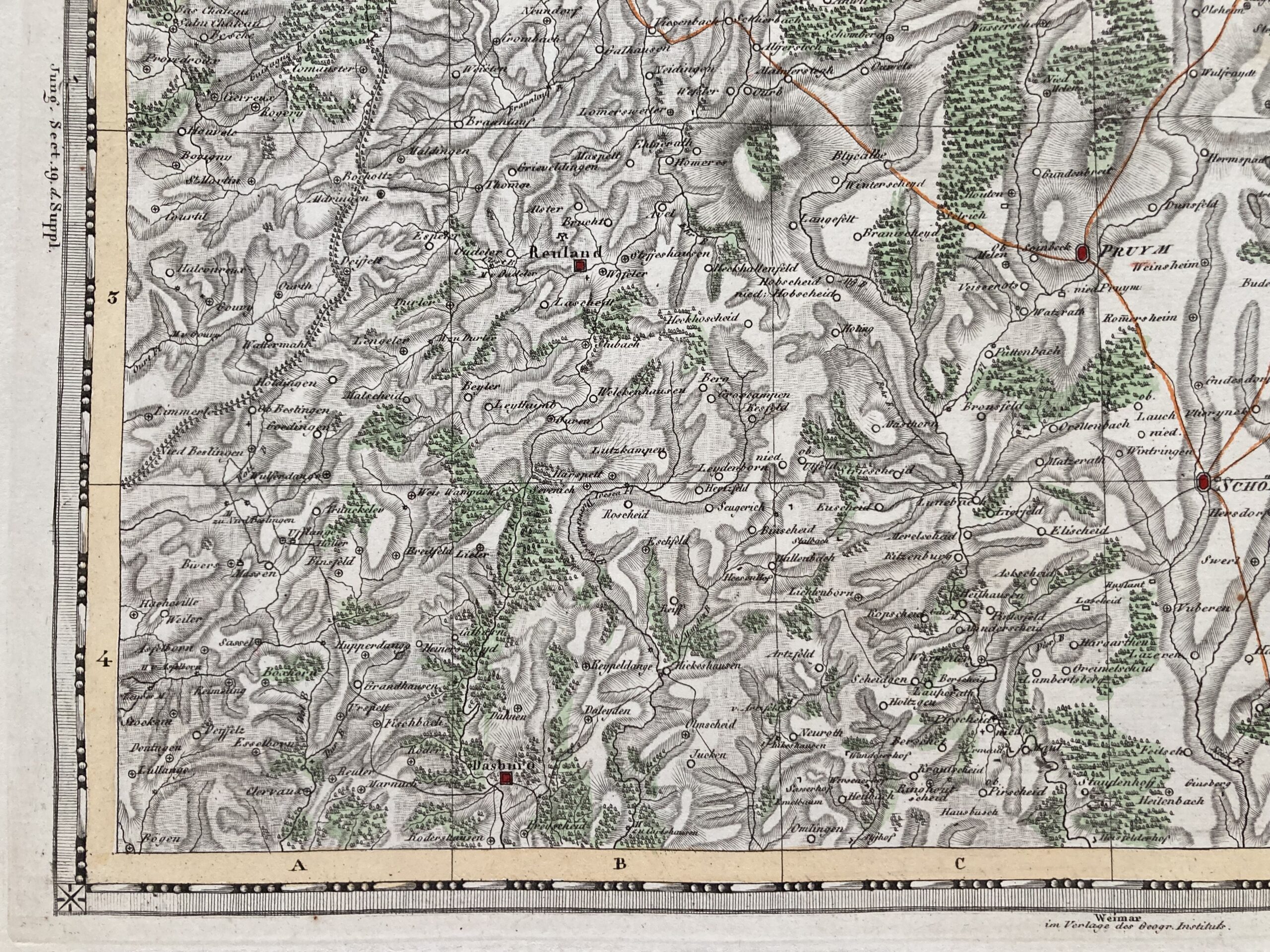
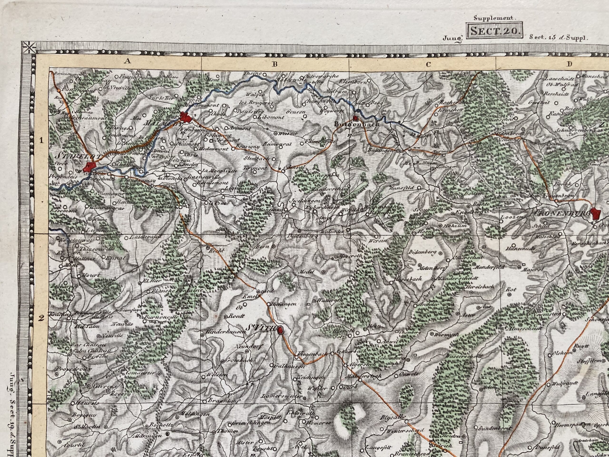
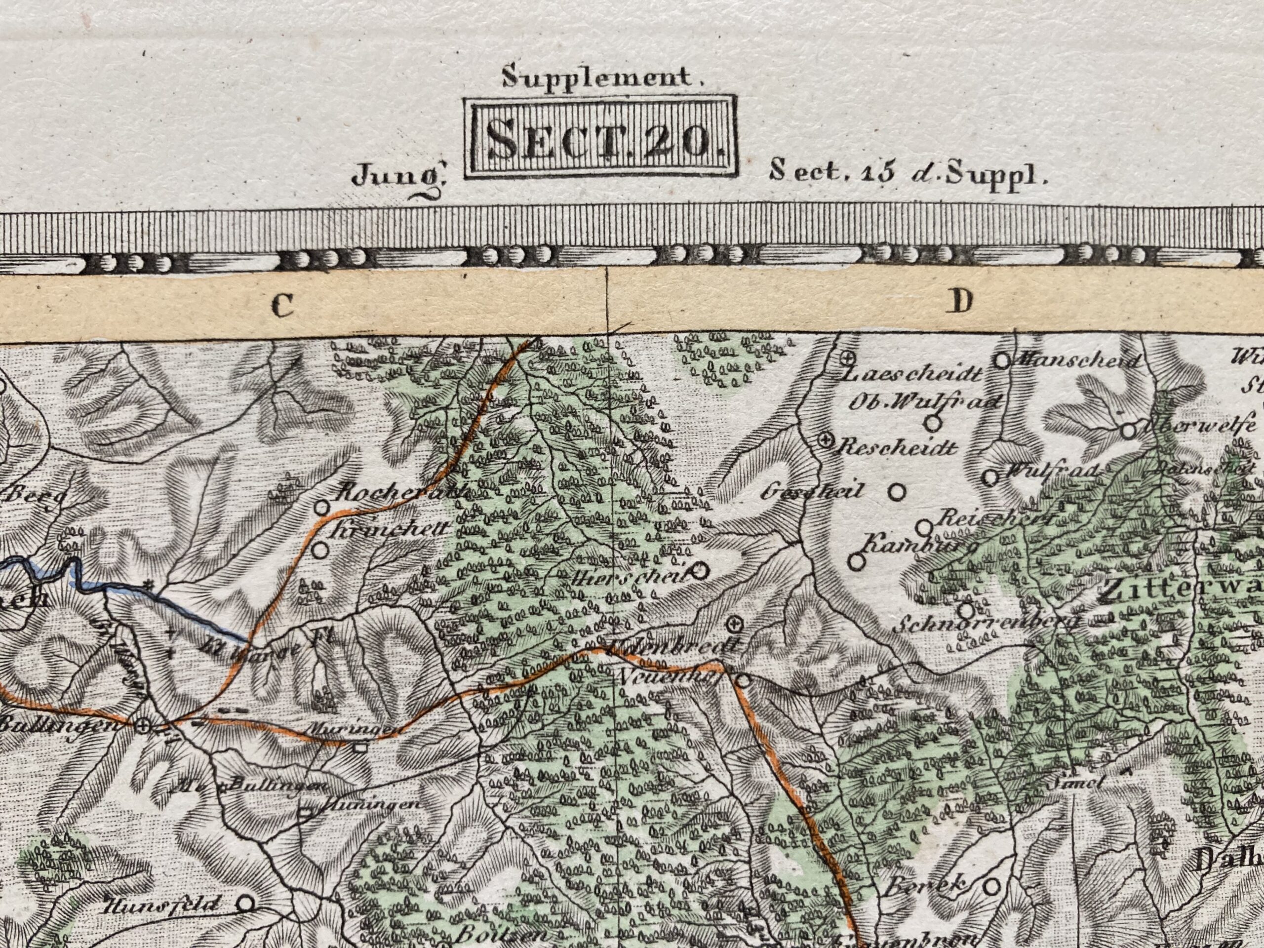
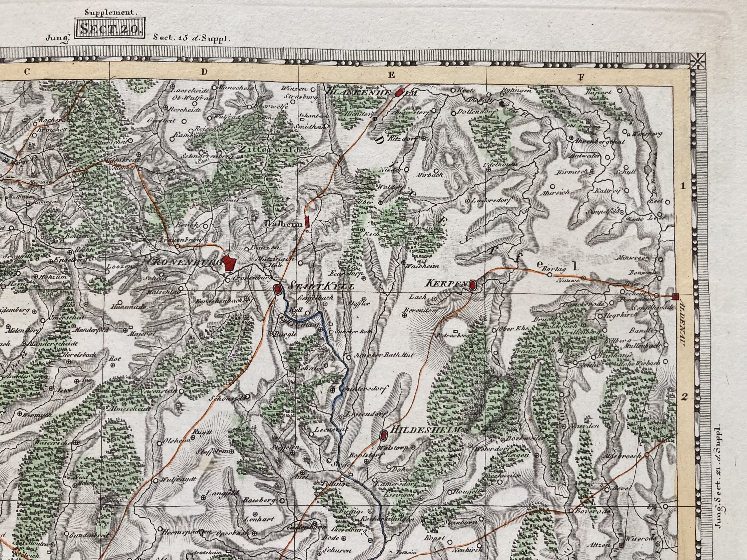

Sect. 20 , Supplement. Weimar, im Verlage des Geographischen Institut. 33,5cm x 45cm (Plattenrand), 50cm x 62cm (Blattgr.). Karte des Kriegsschauplatzes im Jahre 1815. Supplement. Section 20 mit Hillesheim, Kerpen, St. Vith, Stablo, Malmedy
Aus der: Topographisch-militairische Charte von Teutschland : in 204 Sectionen … 1807. = Carte topographique et militaire de L’Allemagne … 1807-1813. Geographisches Institut (Weimar); Streit, Friedrich Wilhelm, 1772-1839